
Which plants suit your location?
Hardiness zone, heat sum, soil fertility and pH for any point on Earth — matched against the requirements of more than 1000 useful plants. Free, no sign-up.
Enter a place and we rate every plant for that exact spot.
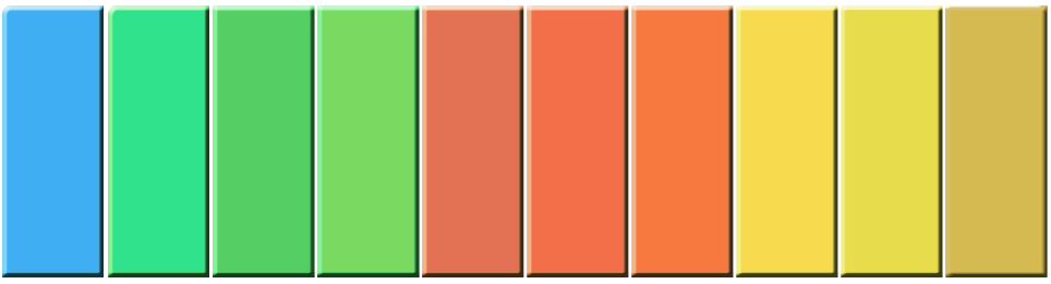
Columns are seasons, not calendar months. First column is winter.
Your site
These values come from world datasets at roughly 28 km resolution — regional averages. Your actual plot can differ: slope, aspect, a south wall, irrigation, the soil you have built up. How this works
Drag the marker or click the map to check a different location.
Plants that fit
25 more filter categories are available in the app → get the app
From site check to finished garden
Permaplans plans your garden to scale: drag plants onto your plot, get yield and workload calculated as you go, track harvests over the years. This site check is the first of many steps.
More filters in the app
The app filters by more than 40 criteria — harvest month, shade tolerance, nitrogen fixers, root type, forest-garden layer, nutritional value and more. Plus grouping, side-by-side comparison, and dragging plants straight onto your plan.


How this is calculated
Six values are read for your location from global climate and soil datasets: the USDA winter hardiness zone, the annual heat sum above 5 °C, the climatic water balance, soil fertility, pH and the share of coarse fragments. Resolution is roughly 28 kilometres — solid regionally, too coarse for a single slope.
Every plant in the database carries a tolerance range for those same six values. When a site value falls outside it, the plant collects penalty points — weighted by how hard that factor really bites. A winter that is too cold is lethal and counts in full immediately; a summer slightly too cool for full ripening only costs a fraction. These are the same weights the world map inside the app uses.
What is not in here: your particular slope, its aspect, the microclimate along a south wall, irrigation, a greenhouse, and everything you change about the soil yourself. Treat the result as a solid shortlist, not a verdict.
Data sources
Climate: CHELSA V2.1 (CC0). Soil: SoilGrids / ISRIC (CC BY 4.0). Hardiness zones from CHELSA and GHCN-Daily (NOAA). Place search: OpenStreetMap contributors.